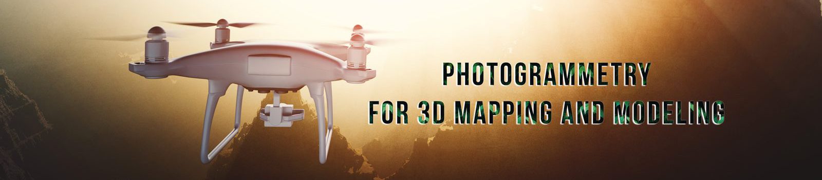
If you’re in need of high-quality images and videos for your 3D modeling and mapping projects, look no further than our photogrammetry service! We offer a range of data gathering methods, including drone photos and videos (with optional GCP service for accuracy), DSLR/mirrorless photos, and 360º camera photos and videos. Please note that our service is for shooting only and we do not offer 3D processing from these images on our side.
We offer the following methods for data gathering.
- Drone photos/videos (Optional GCP service is available. We can set GCPs with GNSS systems for accurate measuring.)
- DSLR/Mirrorless photos
- 360º camera photos/videos (GoPro Max)
Each method is divided into two rate categories according to your processing purposes.
- Survey for photogrammetry
- Survey for details*
*”details” stands for images which you can see, for example, designs and surface structures of subjects.
We offer two rate categories based on your processing purposes: survey for photogrammetry and survey for details. Photogrammetry requires more images and preparation in advance, making it a higher rate option. If you require other methods, please let us know.
1. Drone Survey
Drone surveys are separated into two categories to follow related Japanese laws.
- Drone survey for large subjects – Requires Special Arrangement.
- Drone survey for “small” subjects – No Special Arrangement required.
Japanese law orders special arrangements for flights in which operators cannot see their drones with their direct eyes. In other words, if your requirement needs a drone to fly very large areas and to move away from the operator more than around 100meter/300feet, the special arrangement must be done. These arrangements must also be done in case the drone is not visible for any reason. For example, even if the drone is 50m/150feet away from the operator but behind obstacles and not visible, the special arrangement must be done also.
Survey with Special Arrangements | Large Areas/subjects
This is basically for flights whose operations are done beyond 100m/300feet radius of the operator. Not also operations but also planning is included in these rates. 1/2 day stands for up to 4 hours.
| Survey | 1/2 Day Rate | Day Rate |
| Photogrammetry | US$3,000 | US$4,500 |
| Details | US$2,000 | US$ 3,000 |
| 5-6 pts. GCPs.*optional | +US$ 1,200 | +US$ 1,200 |
If the flight area is larger than what we have experienced, this estimation may vary. The largest area survey with this plan for us is a huge auto racing circuit.
Survey without special arrangements | Small Area/subjects
This is basically for flights whose operations are done within 100m/300feet radius of the operator. Not also operations but also planning is included in these rates. 1/2 day stands for up to 4 hours.
| Survey | 1/2 Day Rate | Day Rate |
| Photogrammetry | US$1,800 | US$2,700 |
| Details | US$1,200 | US$ 1,800 |
| 5-6 pts. GCPs.*optional | +US$ 600 | +US$ 600 |
2. DSLR/Mirrorless Survey
Our DSLR/mirrorless survey is done by professional architecture/interior photographers, ensuring high-quality images of at least 20 megapixels.
| Survey | 1/2 Day Rate | Day Rate |
| Photogrammetry | US$900 | US$1,350 |
| Details | US$600 | US$900 |
3. 360 Videos (GoPro MAX)
For an added layer to your photogrammetry survey, we also offer 360º videos with rates that depend on where the camera is mounted. For a simple attachment on a tripod or still surface, the rates listed apply. However, if mounting requires special arrangements and care, additional fees for planning and operations are required.
| Survey | 1/2 Day Rate | Day Rate |
| 360º video | +US$299 | US$399 |
Choose our photogrammetry service for your data gathering needs, and get ready to create impressive 3D models and maps! If you have question, let us know: hotaka.d@gmail.com
